Wayfinder Web

Key Features
► User-friendly Interface
► Support 8 Different Language
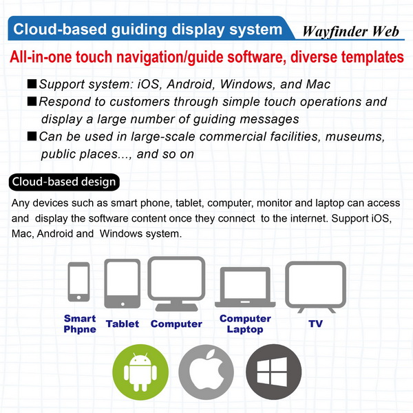
► Cloud-based Design
► Support IOS, MAC, Android and Windows system
Wayfinder Web
► WayFinding Introduction
No installation needed, you can start creating your project after you log in the website. The software allows you to insert photos, menu, text, and build the navigated path in your project.
< ▶
▶


Design and specification are subject to change without prior notice
Design and specification are subject to change without prior notice
DM and User manuals are subject to change without prior notice.
OS Compatibility: Android, Windows, Mac, IOS
Mobile device OS Compatibility: Android, Windows, Mac, IOS
Need Assistance?
If you have any questions or need further information about our products, please feel free to contact us.
Contact Us